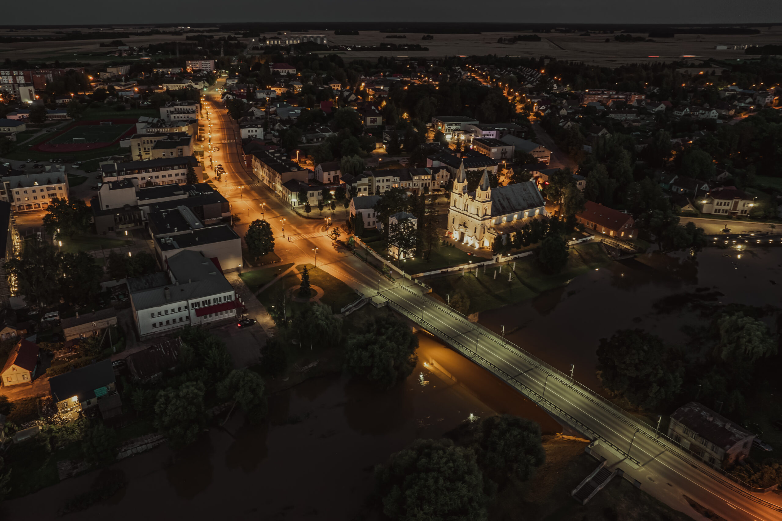
Pasvalys – territory, residents
We will be the first to welcome you and the last to escort those leaving Lithuania. We will meet you with the horizon reaching plains, impress you with rich manor houses, church towers, and mounds. We will astonish you with a unique natural phenomenon - sinkholes. We will send you off with our culinary heritage - homemade beer flavored with hops! See you in Pasvalys!
“Our mountains inwards. We go down into the pits...”
– local poet Vladas Braziūnas.
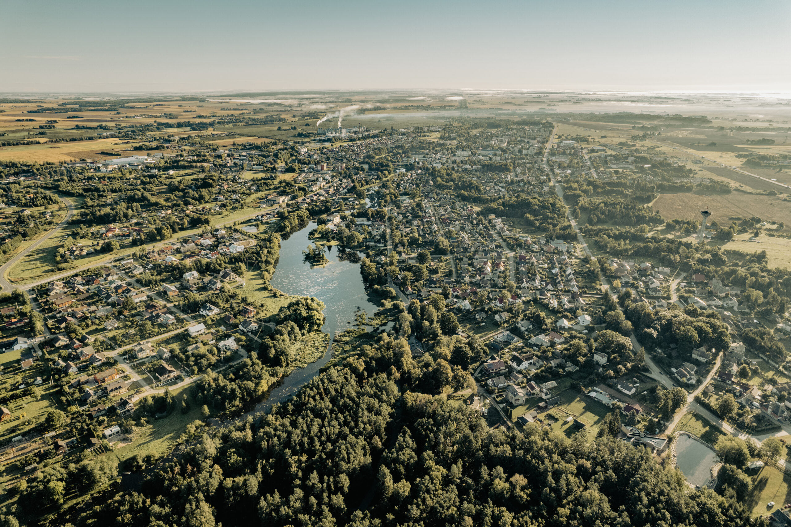
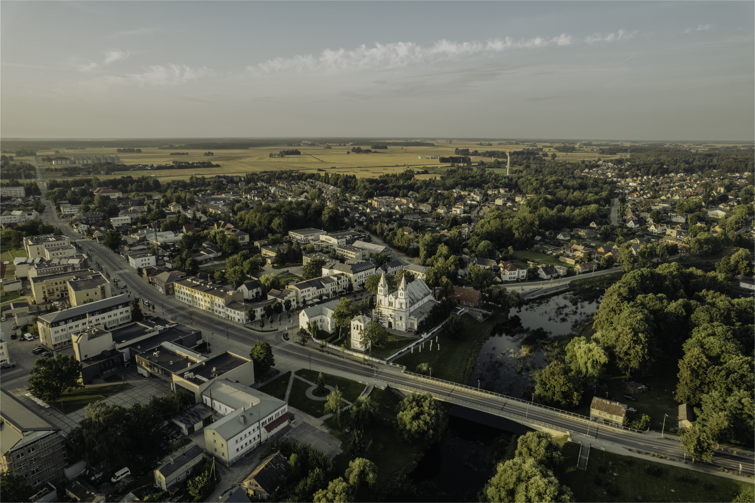
Pasvalys
Pasvalis District is located in northern Lithuania. It is a typical district of the plains of the northern part of Lithuania (lowlands of Žiemgala and Mūša-Nemunėlis). The reason for the appearance of the plains characteristic of the region is a water basin that was formed as early as 350 million years ago – an ancient shallow lagoon, which, due to the accumulation of sediments, became more and more shallow. Layers of gypsum formed at the bottom, were covered by other sediments, and the water had to “retreat”.
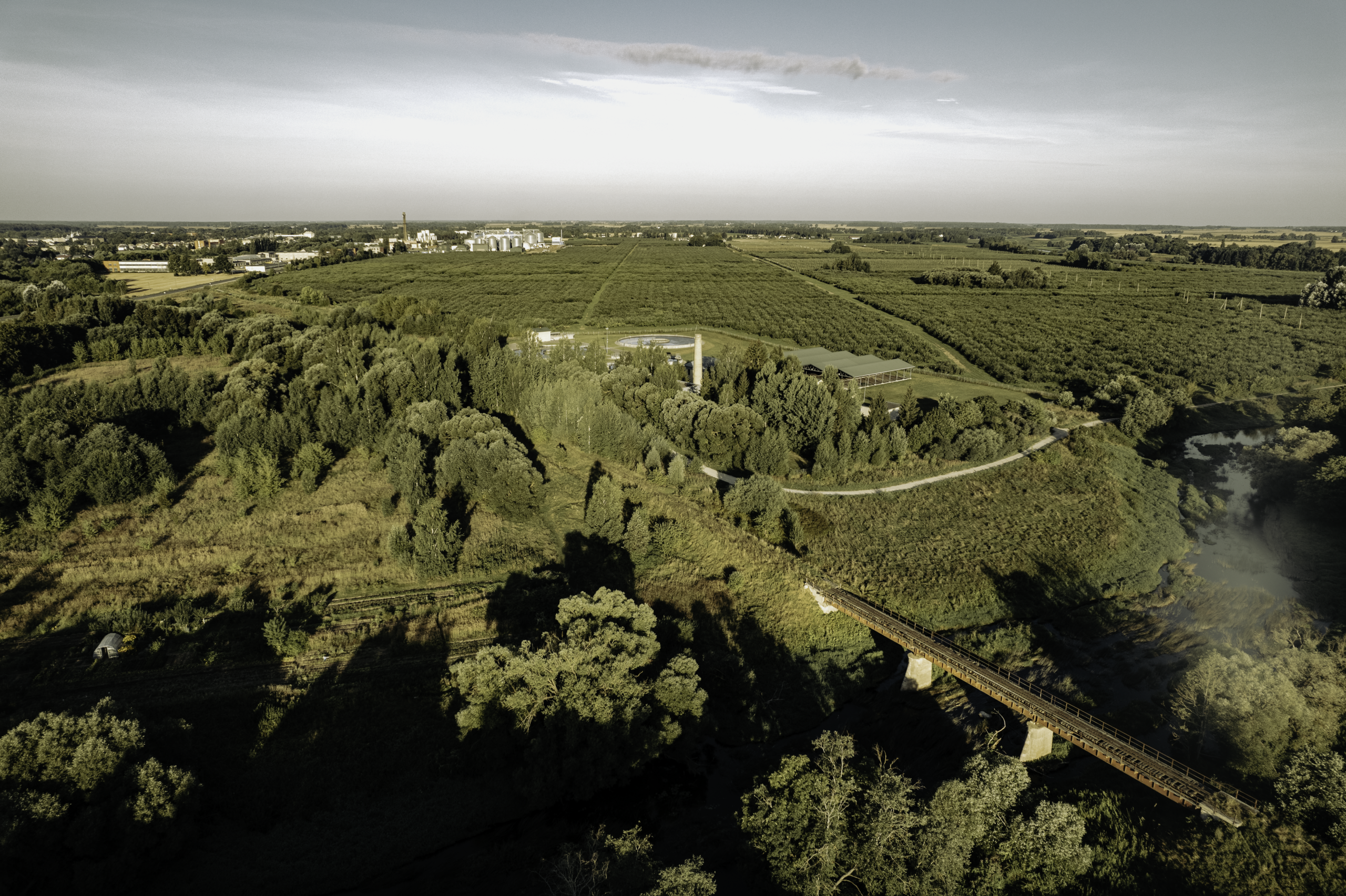
Karst phenomena characteristic to Pasvalys District are sinkholes, also known as “living eyes of nature”. Snow and rainwater seep deep through the cracks and crevices and dissolve the gypsum layers that are laying there. A void appears in place of the dissolved gypsum. When it becomes so large that the remaining layer of earth on top can no longer support its weight, it begins to collapse, and a sinkhole is formed. Numerous karst collapses are scattered from Pasvalys towards Biržai.
Later, the surface was levelled by advancing glaciers. Blocks of ice about 1 km thick would stop and “rest” for 200-300 years, leaving hollows. Therefore, the lowest point of the District on the Latvian border near Mūša is just 16 meters above sea level.
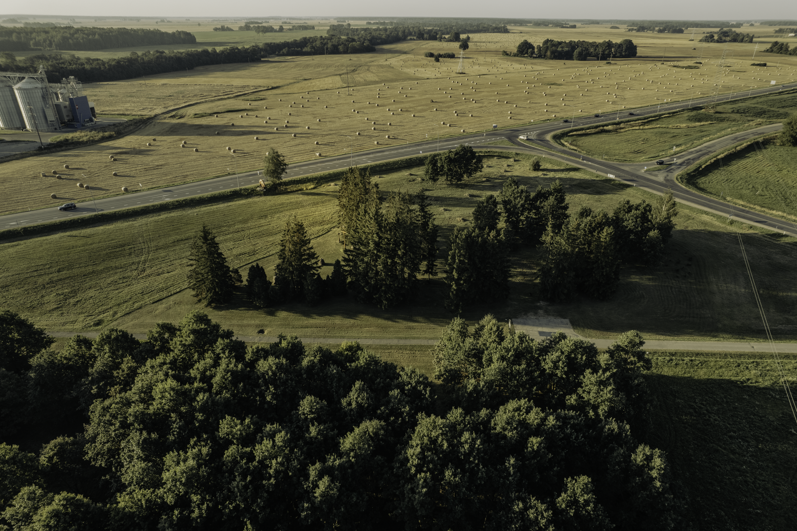
The highest point is in the west of the District in the Linkuva ridge separating the Žiemgala and Mūša-Nemunėlis lowlands: Velniakalnis rises to 75.2 meters near Kriaušiškiai village. In addition to the ridge, the landscape is altered by the valleys of Mūša and its tributaries Mažupė, Tatula, Lėvuo, Pyvesa, and Jiešmuo. There are no lakes in the area, only a few small ponds. Ice ages brought huge boulders, from which the stones of Petraičiai (in Daujėnai Eldership) and Banioniai (in Pumpėnai Eldership) have survived to this day. The legacy of the ice ages is also layers of gravel, sand, clay soils, as it is romantically said – the land of oaks and wheat.
It is one of the most urbanized and cultured districts in Lithuania with developed agriculture and forestry. Instead of grasslands and swamps rich with animal and plant species that once laid here, today we find drained plains converted into agricultural land.
Territory
Pasvalys District occupies 2 % of the Territory of Lithuania
The District is divided into 11 elderships: Daujėnai, Joniškėlis Region, Joniškėlis City, Krinčinas, Namišiai, Pasvalys Region, Pasvalys city, Pumpėnai, Pušalotas, Saločiai, Vaškai.
Residents
According to the Statistics Department, 22,339 residents lived in the municipality of Pasvalys District as of 01 January 2021.